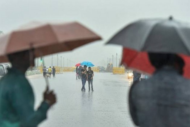
According to the National Weather Forecasting Centre/Regional Meteorological Centre, New Delhi of the India Meteorological Department (IMD):
JK News Today
New Delhi, August 11:
The monsoon trough is active and near to its normal position. It is likely to be active and meandre around its normal position during next 4-5 days.
Convergence of strong southerly/southwesterly winds from Arabian sea over northwest and adjoining central India very likely during next 3-4 days.
An east-west shear zone runs along Latitude 18ºN in the middle tropospheric levels and likely to persist during next 2 days.
A Low Pressure Area is very likely to develop over Northwest Bay of Bengal around 13th August leading to strengthening of the monsoon flow over northern parts of the West coast and over the North Bay of Bengal during 13th-15th August, 2020.
Under the influence of the above meterological conditions:
Fairly widespread to widespread rainfall with heavy to very heavy falls at isolated places very likely over major parts of Northwest India (Western Himalayan region, Punjab, Haryana, Chandigarh & Delhi, Uttar Pradesh) during 12th-15th August 2020.
Fairly widespread to widespread rainfall with heavy to very heavy falls at isolated places very likely over Gujarat state, East Rajasthan, Madhya Pradesh and Vidarbha during 11th -15th August and over northern parts of Konkan & Goa, during 14th-15th August. Isolated extremely heavy falls also likely over Gujarat state & East Rajasthan.
In association with low pressure area, fairly widespread to widespread rainfall with heavy to very heavy falls at isolated places very likely over Odisha and Chhattisgarh during 14th-16th August 2020.


