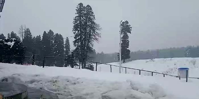
Cold Air Mass from West Likely to Trigger Sharp Temperature Drop Across J&K on Night of 23 January
JK News Today
Srinagar, Jan. 19: A strong Western Disturbance (WD) is expected to impact Jammu & Kashmir starting 22 January (morning/afternoon), initially from higher reaches. By 22nd night, most parts of J&K are likely to come under a rain/snow spell.
While weather models over the past two days have remained largely consistent with wind patterns, they have shown some variability in precipitation intensity. However, the broader signal remains clear: conditions are turning increasingly favourable for a significant winter spell.
There is a high probability of widespread snowfall in plains. This assessment is based on two key supporting factors:
● Temperatures are expected to remain highly favourable for snow.
● Precipitation will be moderate to heavy and initially a heavy spell is expected during the night hours of 22 Jan.
This combination of heavier precipitation and cold air advection raises the likelihood of widespread snowfall across plains.
The main impact is expected between 22 January night and 23 January afternoon/evening.
Nature of snow:
The cold air support will make the snowfall to be dry in nature, which typically leads to higher accumulation compared to wet snow. Dry snow can accumulate rapidly, even with moderate precipitation rates.
Jammu Region:
Places in Doda, Poonch, Kishtwar, and Ramban are likely to receive good snowfall.
The plains of Jammu region are likely to experience moderate rainfall, with heavy spells also possible.
The areas near Pir Panjal mountains are expected to be the most impacted.
Cold Air Mass & Temperature Drop
A cold air mass travelling from the west with this WD is expected to bring a sharp drop in temperatures, particularly on 23 January night. Winds are likely to turn calm post-precipitation, which can further enhance radiational cooling. This setup increases the chances of very low night temperatures, especially if fresh snow cover is present.
In case snowfall occurs in plains, road conditions are likely to turn extremely slippery, both due to fresh snow and subsequent freezing. Conditions on 23 January daytime may also remain slippery, increasing the risk of road accidents. As such precautions need to be taken.
Note:
- Landslides and shooting stones are likely along the Jammu-Srinagar National Highway during and after the precipitation spell.
- The Ramban sector of the highway may turn slippery due to snow and ice.
- People living in higher reaches are advised to clear accumulated snow from rooftops to avoid structural damage or collapses.
- Flight and train disruptions are possible due to adverse weather conditions. Travellers are advised to plan accordingly.
- A fresh forecast update will be issued on 22 January morning, incorporating any changes or refinements based on latest model trends.
- Forecast confidence: ~75%, as model trends over the past two days continue to support a strong WD. The next 48 hours will bring more clarity on precipitation intensity and exact snow distribution.
Forecast Insights: Kashmir Weather


