

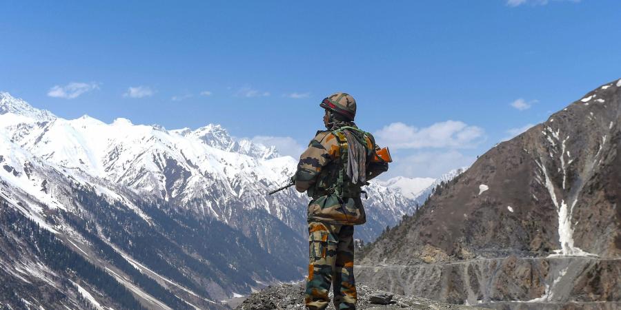
Most people seem highly confused about what’s really going on in the India-China border face-off. So India Today has put together never seen before maps of the LAC, the Galwan Valley as well as Pangong Tso to bring alive the reality of the situation on the ground for our viewers and readers.

New Delhi, June 13:
After four days of painstaking effort, cutting across multiple editorial teams and specialities, the India Today Open Source Intelligence Team (OSINT) has been able to put together the most comprehensive account of what’s happening along Line of Actual Control (LAC).
Most people seem highly confused about what’s really going on in the India-China border face-off. So we invested substantial time, energy and effort to bring alive the reality of the situation on the ground for our viewers and readers.
The current stand-off between India and China in Eastern Ladakh is the biggest military build-up since 1962 so it’s important to dive deep to make sense of the story.
Exposing China’s cartographic aggression. Watch #Newstrack with @rahulkanwal | #ITLivestream https://t.co/Nza6XnDHKG
— IndiaToday (@IndiaToday) June 13, 2020
The latest maps created by India Today take a deep look at the Galwan Valley, one of the most controversial sites where Indian and Chinese soldiers have faced off. The maps show the Galwan river, the peaks surrounding it and the valley in between.

Our cartographical investigation also identified the crucial road India has built up to Daulat Beg Oldie, which is home to one of the world’s highest airfields.

Further, the maps show some of the locations where the Indian Army the Chinese PLA have their outposts, units and bases.

For the conflict at Pangong Tso, the maps show the contested lake area and the eight “fingers” on the lake’s bank.

The exercise turned out far more complex than we could have imagined because the details are so sketchy and also because the India-China border itself is not clearly demarcated. While, the Indian Army has professional military maps, very little of that information is in the public domain.
