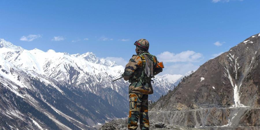
Lieutenant General-level talks are scheduled for Saturday between India and China over face-off along the LAC. Pangong Tso and its eight fingers are likely to be the focus of disengagement talks.
New Delhi, June 4:
Remember the climax scene of the blockbuster Hindi movie ‘3 Idiots’? It was shot at the Pangong Tso. The movie was so popular in China that fans there celebrated 10 years of ‘3 Idiots’ in December 2019, hailing it as the ‘film of the century’.
Right now, this Pangong Tso is the site of eye-to-eye confrontation between Indian and Chinese troops, following a scuffle in early May. Both sides have ramped up their troop presence but “disengagement” process is also underway.
The Lieutenant General-level talks are scheduled for June 6. Though current theatre of military tension also includes Galwan Valley, Demchok and Daulat Beg Oldie, focus of the India-China border dispute is likely to be on Pangong Tso.
Pangong Tso literally translates into a “conclave lake”. Pangong means conclave in Ladakhi and Tso means a lake in Tibetan language. Situated at over 14,000 feet, Pangong Tso or Pangong Lake is about 135 km long.
The Line of Actual Control (LAC) – the line that separates Indian and Chinese troops since 1962 – generally runs along the land except for the width of Pangong Tso. Here it runs through water. Both sides have marked their areas announcing which side belongs to which country — in English, Hindi and Mandarin.
India controls about 45 km stretch of the Pangong Tso and China the rest. The current site of confrontation is spurs jutting out of Chang Chenmo, an eastern extension of the Karakoram Range. These spurs are called fingers. There are eight of them in contention here.
India and China have different understanding of where the LAC passes through. India has maintained that the LAC passes through Finger 8, which has been the site of the final military post of China.
India has been patrolling the area – mostly on foot because of the nature of the terrain – up to Finger 8. But Indian forces have not had active control beyond Finger 4.
China, on the other hand, says the LAC passes through Finger 2. It has been patrolling up to Finger 4- mostly in light vehicles, and at times up to Finger 2.
The confrontation that took place in May happened at Finger 5. And, the current theatre of eye-to-eye confrontation is Finger 2, where the Chinese rushed in the aftermath of the confrontation.

Traditionally, China has been staking claim up to Finger 4, which is where Chinese troops had made advances in 2017 during the Doklam standoff. A video of the soldiers from two sides exchanging punches and kicks had gone viral back then.
It was Finger 4 where China demolished a permanent structure it had built in 2014-15 after the Indian side strongly objected to such construction. The demolition by China underlined mutual understanding that it was on the Indian side of the territorial control.
However, the latest Chinese move is part of its long-term strategy to gain greater control of the area. It was under this design, China had built road up to 5 km on the Indian side of the LAC in 1999, during the Kargil war with Pakistan.
India had to pull out troops from Pangong Tso area for Operation Vijay. China saw an opportunity to make advance its encroachment and built a metalled road along the lake 5 km inside.
Pangong Tso is strategically crucial as it is very close to Chusul Valley, which was one of the battlefronts between India and China during the 1962 war.
China appears to keep India constricted in the region by taking strategic advantage of looking over the Chusul Valley, which it can do if it advances along Pangong Tso. This assessment is likely to reflect in Indian approach when the two sides sit for “disengagement” talks on Saturday.
There is another explanation to Chinese aggression in Pangong Tso and Galwan areas. China does not want India to boost its infrastructure anywhere near the LAC. China fears it threatens its occupation of Aksai Chin and Lhasa-Kashgar highway. Any threat to this highway also puts Chinese rather imperialist plans in Pakistan-occupied territories in Ladakh and Jammu and Kashmir, and beyond in Pakistan.
The current impulses of China seem to be guided by 255 km Daulat Beg Oldie-Darbuk-Shayok road. It extends up to the base of the Karakoram pass, which is the last military post. Daulat Beg Oldie is the highest airfield in the world. This road, when complete, will reduce the travel time from Leh to Daulat Beg Oldie from two days to six hours.
India has speeden up its construction of the road. Recent news reports suggest that the defence ministry has put a special request with the railways to provide 11 special trains to ferry labourers to the road construction site. The pace is said to have picked up in the duration of fresh face-off along the LAC.


