

Isolated heavy to very heavy falls most likely to continue over Gujarat, Konkan & Goa, Madhya Maharashtra & Coastal Karnataka

Isolated extremely heavy falls is also very likely over Konkan & Goa (including Mumbai) and Madhya Maharashtra on 03rd & 04th July; Gujarat region on 04th & 05th July, 2020
JK News Today
New Delhi, July 3:
According to the National Weather Forecasting Centre/Regional Meteorological Centre, New Delhi of the India Meteorological Department (IMD):
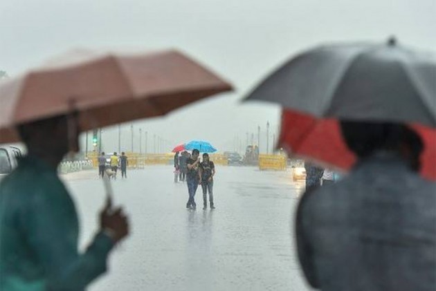
Intense wet spell over west, central & adjoining east India during next 5 days
Due to high convergence of strong moist westerly/southwesterly winds from the Arabian sea along west coast and cyclonic circulation over south Gujarat & neighbourhood in lower tropospheric levels, fairly widespread to widespread rainfall with isolated heavy to very heavy falls most likely to continue over Gujarat, Konkan & Goa, Madhya Maharashtra & Coastal Karnataka during next 5 days. Isolated extremely heavy falls (≥ 20 cm) is also very likely over Konkan & Goa (including Mumbai) and Madhya Maharashtra on 03rd & 04th July; Gujarat region on 04th & 05th July, 2020.
A cyclonic circulation lies over East Uttar Pradesh & neighbourhood and a north-south trough runs from East Uttar Pradesh to East Vidarbha in lower tropospheric levels. It is most likely to cause fairly widespread to widespread rainfall/thundershower activity with isolated heavy to very heavy falls over central & adjoining east India during next 5 days.
