

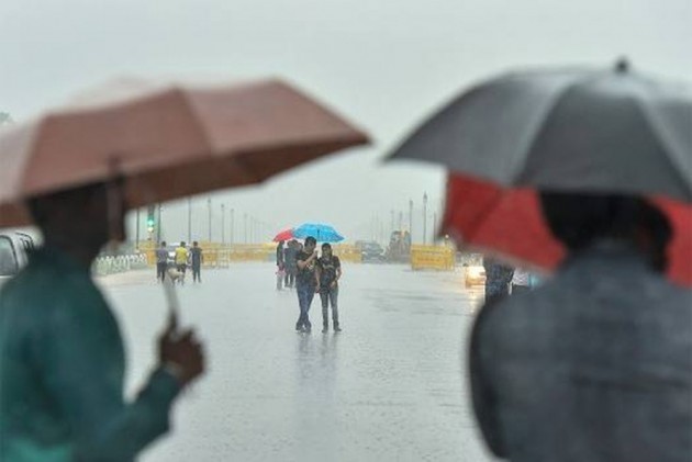
Conditions becoming favourable for further advance of Southwest Monsoon
A Low Pressure Area is likely to form over eastcentral Bay of Bengal during next 48 hours
It is likely to move westnorthwest wards and become more marked during subsequent 24 hours
According to the National Weather Forecasting Centre/Regional Meteorology Centre, New Delhi of the India Meteorological Department:

♦ Southwest Monsoon has further advanced into some more parts of South Interior Karnataka, some parts of Rayalaseema, most parts of Tamil Nadu, entire Southwest Bay of Bengal, some more parts of West central Bay of Bengal, entire Eastcentral
Bay of Bengal and some parts of northwest and some more parts of Northeast Bay of Bengal.
♦ The Northern Limit of Monsoon (NLM) now passes through Karwar, Shimogha ,Tumukuru, Chittoor, Chennai.
♦ Conditions are becoming favourable for further advance of Southwest Monsoon into some more parts of Central Arabian Sea, Goa, Some parts of Konkan, some more parts of Karnataka, Rayalaseema, remaining parts of Tamilnadu, some parts of Coastal
Andhra Pradesh, some more parts of Central and North Bay of Bengal and some parts of Northeastern states during next 2-3 days.
♦ Conditions likely to become favorable subsequently for further advance of Southwest monsoon into some more parts of Maharashtra, Some more parts of Karnataka, Some parts of Telangana, some more parts of Coastal Andhra Pradesh, remaining
parts of Bay of Bengal & northeastern states, Sikkim, some parts of Odisha and Gangetic West Bengal during subsequent 2 days.
♦ A Low Pressure Area is likely to form over eastcentral Bay of Bengal during next 48 hours. It is likely to move westnorthwest wards and become more marked during subsequent 24 hours. Under its influence, fairly widespread to widespread
rainfall accompanied with isolated heavy to very heavy rainfall is likely over Odisha, north Coastal Andhra Pradesh, Telangana during 09th-11th June and isolated heavy falls over Vidarbha, Gangetic West Bengal, Gujarat state and south Madhya Pradesh during 10th-11th June.
♦ The Western Disturbance as a trough and cyclonic circulation persist over north Punjab,
northeast Uttar Pradesh, Central Gujarat, eastcentral Bay of Bengal and Southeast Arabian Sea off Kerala Coast.
Meanwhile,
- General Weather Forecast for next 5 days (up to 0830 hours IST of 12 June 2020):
♦ Maximum temperature likely to rise by 2-3°C over Maharashtra and central India during next 2 days. No significant change in maximum temperature during next 24 hours and rise by 2-4°C thereafter over northwest India.
♦ No significant change in maximum temperatures likely over rest parts of the country during next 4-5 days.

